30 minutes from Marseille, the creeks have a unique geographical feature in France at least to this extent.
The creeks are accessible only on foot, from Cassis and Marseille.
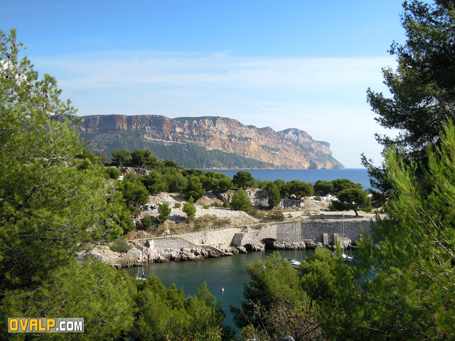
Many paths cross the coast, the simplest is to walk from the port of Cassis and go to the cove En Vau which is surely the most spectacular.
Climbing and bathing between Cassis and Marseille
Few infos
- Long 20 km, large 4 km. Altitude maxi 563 mètres.
- An underground river of high flow (5 to 7 meter cube / sec) results in the creek of Port-Miou in Cassis!
- Good address quality : Amorino Glacier (av Victor Hugo)
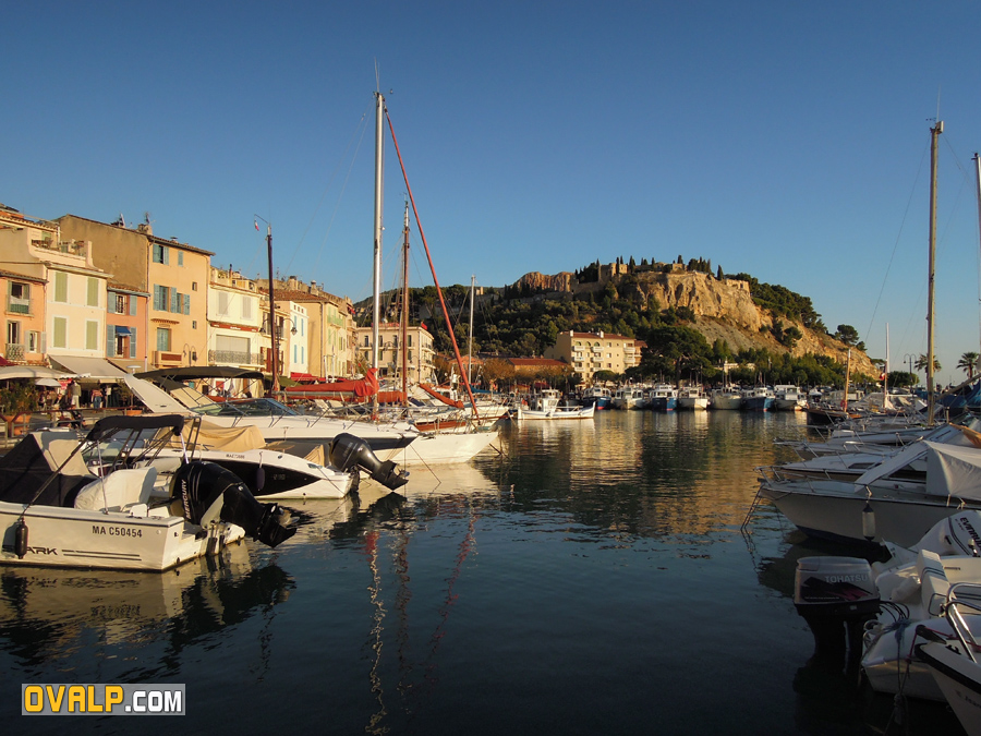
- Tourism Cassis
- Boat prices
- Google Maps links
- Climbing Cassis
- Geographical coordinates (GPS): 43.208179,5.519743
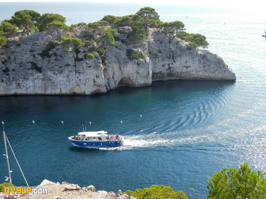
People in a hurry (or less active) prefer to visit the creeks by boat. Of large shipping companies offer the ride (from 15 euros) million annual visitors to this exceptional site.
The main creeks are En Vaux, Sugiton, Morgiou, Sormiou, Callelongue ...

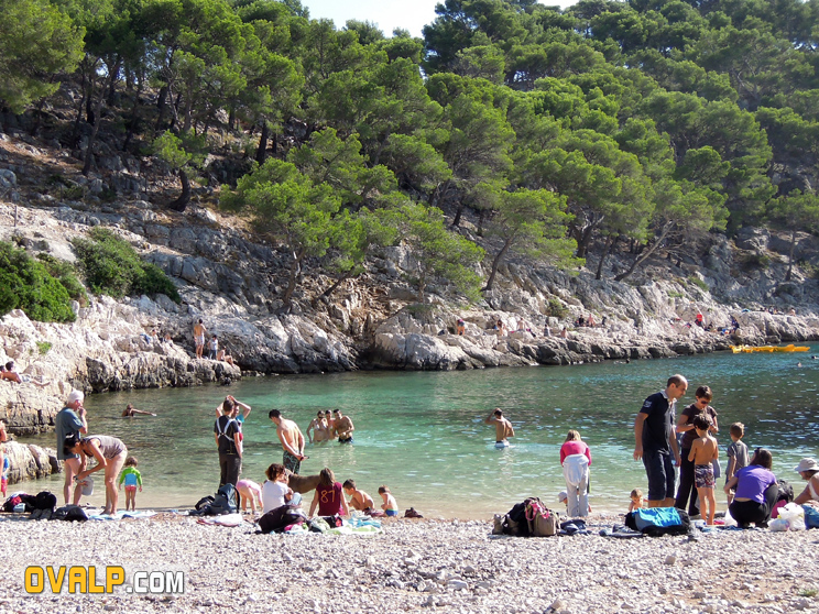
Climbing is widely practiced in the creeks but it should be noted that the sites are often crowded and some routes are particularly mellow. The water is cooler than the surrounding area because of the depths of funds and source of water (underground river) flows into the cold sea
The Tenth National Park was created in French (2012) in the creeks, the underwater part covers approximately 43,000 hectares and land part over 8000. The Cosquer part of this area.